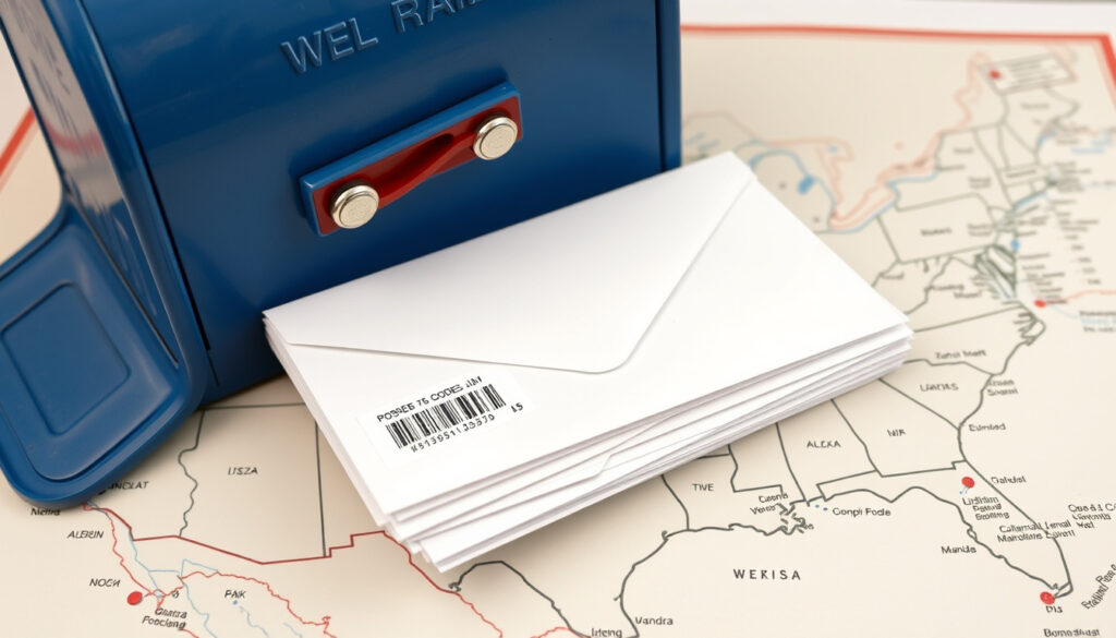
What Is Zip Code – Definition, History and How It Works
A ZIP Code is a five-digit postal code system used by the United States Postal Service to streamline mail sorting and delivery across the nation. Introduced on July 1, 1963, this system designates specific geographic regions to help letters and packages reach their destinations more efficiently.
The term “ZIP” stands for Zone Improvement Plan, a name that reflects the system’s core purpose of helping mail move quickly along established routes. Today, ZIP codes extend far beyond their original postal function, supporting industries such as insurance, real estate, demographics, and even emergency response systems.
What Does ZIP Stand For?
ZIP stands for Zone Improvement Plan, a term coined by D. Jamison Cain and adopted by the USPS in 1963. The “ZIP” portion of the name cleverly suggests mail “zips” along efficiently through the postal system, while “Zone Improvement” describes the geographic organization that replaced older, less systematic approaches to mail routing.
The primary function of a ZIP code is to identify a specific delivery area served by a post office or processing facility. This identification enables automated sorting equipment to route mail correctly, reducing handling time and delivery errors. The USPS describes ZIP codes as identifiers of individual post offices or delivery areas, making them essential infrastructure for the postal network.
While ZIP codes appear to follow city or state boundaries, they actually align with delivery routes and processing facilities. A single ZIP code may span multiple neighborhoods, and some codes serve only a handful of addresses at high-volume receivers.
How Do ZIP Codes Work?
Understanding the Five-Digit Structure
Each digit in a ZIP code represents a specific geographic level, creating a hierarchy that guides mail from national level down to local delivery. The first digit designates a broad regional area, with “0” covering the Northeast and East Coast and values increasing westward to “9” for Western states.
The second and third digits identify the sectional center facility (SCF), a central mail processing hub within each region. The final two digits pinpoint the local post office or delivery zone, often corresponding to pre-1963 city zoning systems that were already familiar to residents.
Mail flows through this hierarchy, moving from local post offices to sectional center facilities where overnight sorting occurs. This organized flow allows the postal system to process millions of pieces daily with remarkable efficiency.
ZIP and ZIP+4: What Is the Difference?
The standard ZIP code consists of five digits, but an extended format called ZIP+4 adds a hyphen and four additional digits. Introduced in 1983 and refined in 1991, the extra digits identify specific details such as a city block, apartment group, or high-volume receiver. An example would be 12345-6789.
ZIP+4 provides finer precision for businesses and organizations that receive large volumes of mail. While not required for standard residential shipping, the extended format can improve delivery accuracy and speed for commercial senders. The USPS holds trademarks on both ZIP+4 and historically claimed ZIP Code as a service mark.
When shipping packages or certified mail, including the ZIP+4 code can reduce delivery delays. Many online retailers automatically generate this extended format when you enter your address.
What Is the History of ZIP Codes?
Early Postal Zoning Efforts
The concept of postal zoning dates back to 1943, when the USPS introduced two-digit zones for 124 large cities. This early system addressed a critical wartime challenge: experienced postal clerks were joining the military, leaving less trained workers to handle increasing mail volumes. Zoning helped substitute workers sort mail more quickly by assigning numbers to specific geographic areas.
Robert Moon proposed a national system in 1944, with his design credited for establishing the first three digits identifying sectional center facilities. Henry Bentley Hahn Sr. later contributed the final two digits that completed the five-digit structure eventually adopted nationwide. D. Jamison Cain, meanwhile, coined the memorable “Zone Improvement Plan” name.
National Launch and Expansion
Non-mandatory five-digit ZIP codes launched nationwide in 1963 as mail volumes continued rising and automation became necessary. The USPS promoted the new system with the “Mr. ZIP” cartoon character, a memorable mascot that appeared in public awareness campaigns. The codes became mandatory for bulk mail senders in 1967, ensuring widespread adoption.
The system continued evolving with ZIP+4 introduction in 1983, adding two more digits in 1991 to enable direct sorting to specific residences and businesses. State abbreviations also standardized in 1963, using two uppercase letters such as MN, with Nebraska’s abbreviation changing from NB to NE in 1969.
The Zone Improvement Plan of 1963 transformed postal operations by enabling faster sorting for workers with less experience. Its socio-economic impacts extended beyond mail delivery, laying groundwork for modern demographic analysis and industry planning.
Key Facts About ZIP Codes
Understanding ZIP codes involves knowing several concrete facts that clarify their role in the postal system and broader economy. The following grid and table present essential information at a glance.
ZIP Code Overview
| Category | Details |
|---|---|
| Full Name | Zone Improvement Plan |
| Standard Format | 5 digits (e.g., 90210) |
| Extended Format | 5 digits + 4 (e.g., 90210-1234) |
| Total Active Codes | Approximately 41,000 |
| Managing Authority | United States Postal Service |
| Original Launch Date | July 1, 1963 |
- ZIP codes organize mail by zones rather than street addresses, enabling faster automated sorting
- Over 41,000 active five-digit ZIP codes exist across the United States
- ZIP+4 codes add precision for businesses handling high mail volumes
- ZIP codes can change over time as population shifts and new developments emerge
- The system supports industries beyond mail, including insurance underwriting, real estate mapping, and demographic research
The Wikipedia entry on ZIP codes notes that these codes cover addresses rather than political boundaries, allowing for non-contiguous areas and overlapping designations where delivery patterns require flexibility.
A Brief Timeline of ZIP Code Development
- 1943 — Two-digit postal zones introduced for 124 major cities to assist wartime staff shortages
- 1944 — Robert Moon proposes national zoning system with three-digit SCF identifiers
- 1963 — Five-digit ZIP codes launch nationwide on July 1; “Mr. ZIP” mascot campaign begins
- 1967 — ZIP codes become mandatory for bulk mail shipments
- 1983 — ZIP+4 format introduced for enhanced precision
- 1991 — Four additional digits enable direct-to-address sorting
- Ongoing — USPS periodically updates ZIP codes to reflect population growth and delivery route changes
What Is Clear Versus Uncertain About ZIP Codes
| Established Information | Information That Remains Unclear |
|---|---|
| ZIP stands for Zone Improvement Plan | Precise current total fluctuates with USPS updates |
| Standard format is five digits introduced in 1963 | Frequency of major boundary changes varies by region |
| First digit indicates broad national region | Specific criteria for business-only ZIP designations |
| ZIP+4 adds precision for specific addresses | Future automation plans that may alter ZIP structure |
Why ZIP Codes Matter Beyond Mail Delivery
While designed specifically for postal operations, ZIP codes have become essential infrastructure for numerous industries and government functions. Insurance companies use them for risk assessment and pricing, while real estate professionals rely on ZIP-level data for market analysis and property valuation.
Demographic researchers aggregate census and consumer data by ZIP code to identify population trends, spending patterns, and social characteristics. Emergency services, particularly 911 systems, incorporate ZIP codes to dispatch responders to the correct geographic area. The USPS Office of Inspector General has documented how these seemingly simple codes underpin much larger systems of commerce and public safety.
The USPS decoding guide explains that ZIP codes function as a support structure beyond their original postal purpose, enabling coordination across sectors that require geographic precision.
Official Sources and Further Information
ZIP Codes identify the individual post office or delivery area associated with each address, enabling the postal system to process and deliver mail efficiently.
— United States Postal Service
For official USPS resources, the USPS website provides tools to look up specific ZIP codes and understand regional boundaries. The Britannica entry on postal codes offers broader international context, while geocod.io provides technical details on how ZIP codes integrate with location data systems.
Summary
ZIP codes, standing for Zone Improvement Plan, represent a foundational postal system that has organized American mail delivery since 1963. The five-digit format creates a hierarchical structure guiding mail from regional facilities down to local delivery zones, while ZIP+4 adds precision for specific addresses. Beyond their postal origins, these codes support critical functions in insurance, real estate, emergency response, and demographic research. The system continues evolving as the USPS adjusts boundaries to reflect population changes and delivery patterns. Understanding ZIP codes helps residents and businesses ensure accurate, efficient mail handling. For related geographic information, see our guide on Blood Pressure Reading Singapore – Normal Ranges, MOH Guidelines.
Frequently Asked Questions
How many ZIP codes are there in the United States?
There are over 41,000 active five-digit ZIP codes across the United States, though the exact number fluctuates as the USPS adds, removes, or modifies codes to reflect population changes and delivery needs.
Are ZIP codes the same as postal codes?
ZIP codes are the U.S.-specific version of postal codes, which are numeric or alphanumeric identifiers used for geographic locations worldwide. In American usage, “postal code” and “ZIP code” are often used interchangeably, but ZIP refers specifically to this American system.
Can ZIP codes change?
ZIP codes can and do change over time. The USPS periodically updates boundaries to accommodate population growth, new housing developments, changes in delivery routes, or the establishment of new processing facilities.
What does ZIP stand for?
ZIP stands for Zone Improvement Plan, a name that reflects the system’s purpose of organizing mail delivery by geographic zones to improve efficiency and speed.
What is the difference between ZIP and ZIP+4?
A standard ZIP code contains five digits identifying a delivery area. ZIP+4 adds a hyphen and four more digits that pinpoint a specific city block, apartment building, or high-volume mail receiver for greater precision.
Who created the ZIP code system?
Several individuals contributed to the ZIP code system. Robert Moon proposed the national three-digit format in 1944, while Henry Bentley Hahn Sr. added the final two digits. D. Jamison Cain coined the term “Zone Improvement Plan.”
When did ZIP codes become mandatory?
ZIP codes became mandatory for bulk mail in 1967, three years after their initial nationwide introduction in non-mandatory form in 1963.
More related posts
 Galaxy Z Fold 2 to Buy: 2025 Value Guide
 Korean Won to SGD: Live Exchange Rate & Guide 2025
 Alan Ng Bao Zheng: Arrest, Allegations & Latest News
 Accrue Real Estate Reviews Trustpilot: Legit or Fake?
 Daily Pay Jobs Singapore: 16+ Listings & How to Apply
 KrisFlyer Global Redemption Sale 2025: 20% Off Saver Awards
 Speaker of Parliament Singapore: Current Speaker, History, and Role
 Surah Al-Baqarah Ayat 284-286 Rumi: Meaning & Benefits
